Water: na;
.jpg)
.jpg)


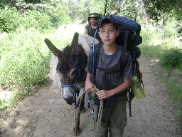
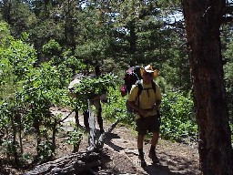
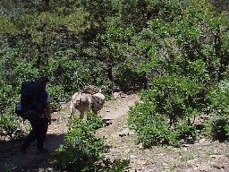
Pick Up Burros
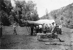
Chuck Wagon Dinner
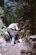
Prospecting
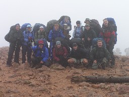
Ranger Training
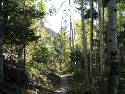
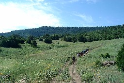
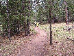
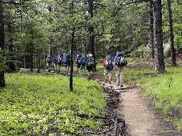
Hike via Hidden Valley / Window Rock


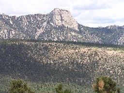
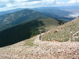
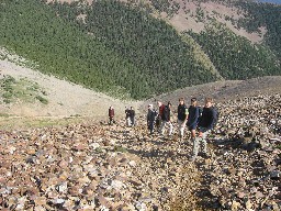
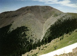
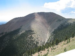
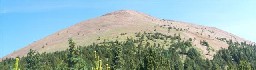
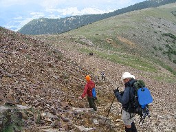
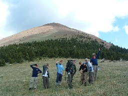
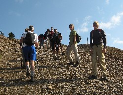
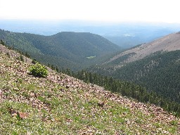
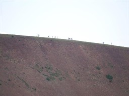
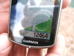
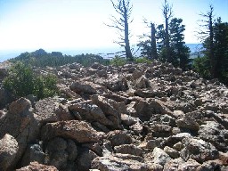
Baldy Mountain


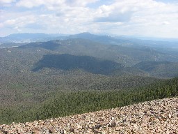
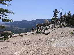
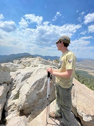
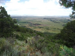
Trail Peak


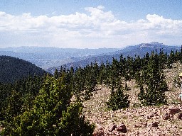
Hart Peak
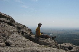
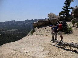
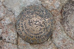
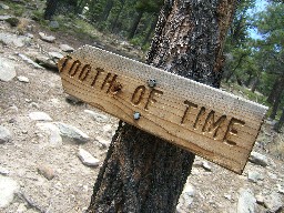
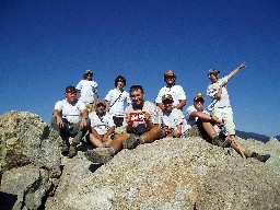
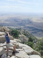
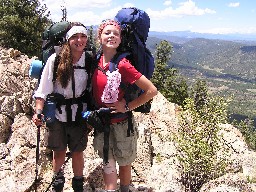
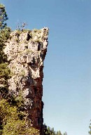
Tooth of Time


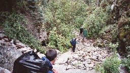
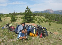
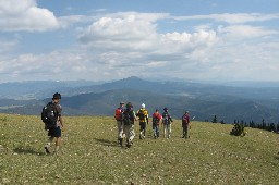
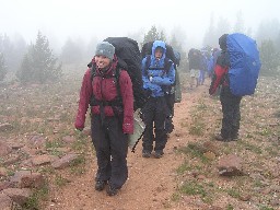
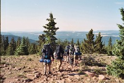
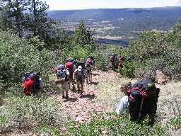
Hike into Base
.jpg)
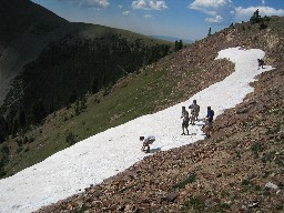
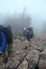
Mount Phillips
Hike to
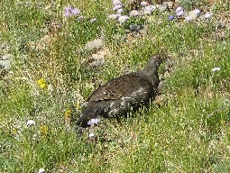
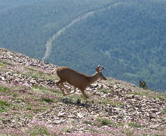
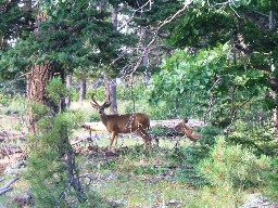
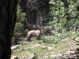
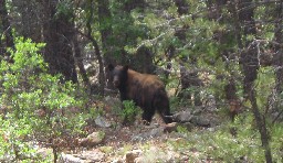
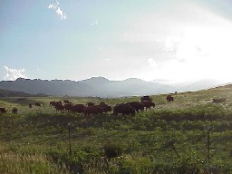
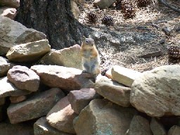
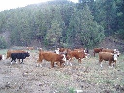
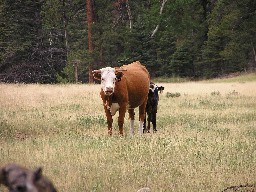
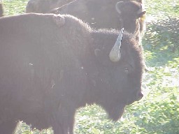
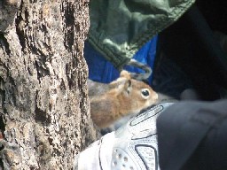
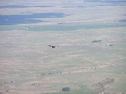
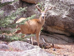
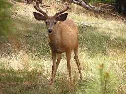
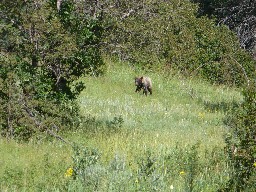
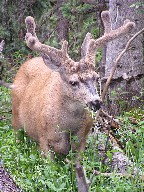
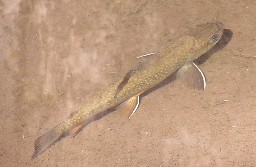
Wildlife
.JPG)
.JPG)
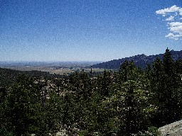
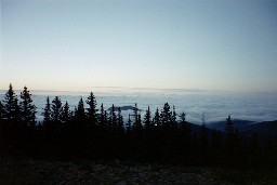
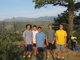
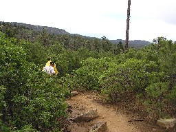
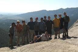
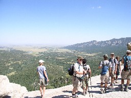
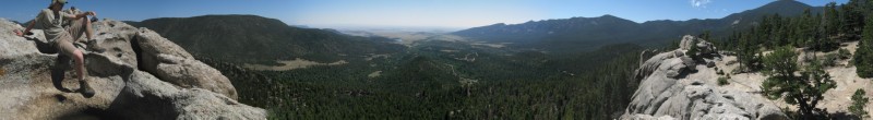
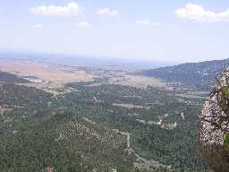
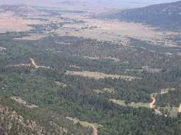
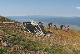
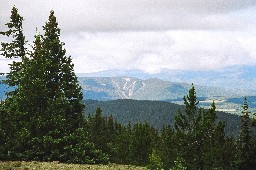
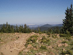
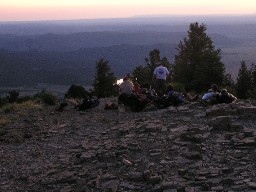
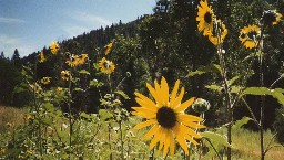
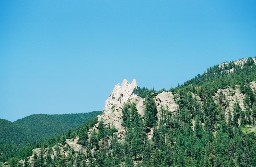
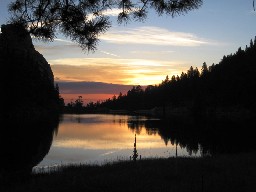
Points of Interest

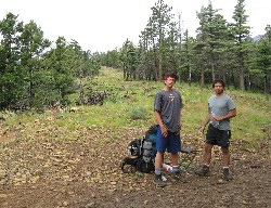
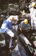
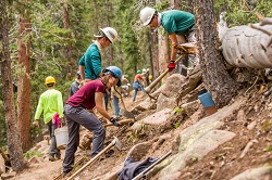
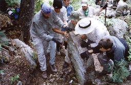
Conservation Project
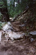
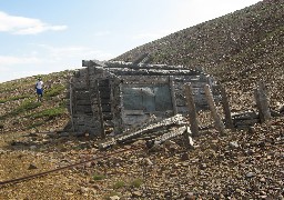
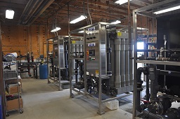
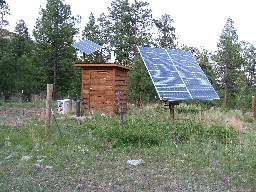
Infrastructure
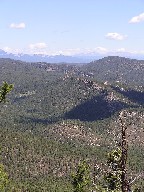
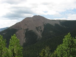
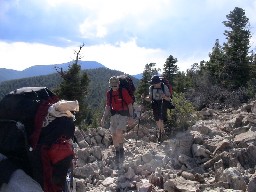
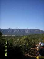
Black Mountain
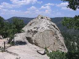
Big Red
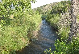
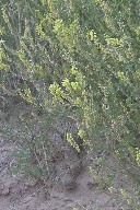
Water
Hike North Ponil River thru XA Ranch
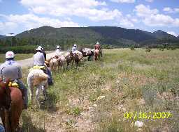
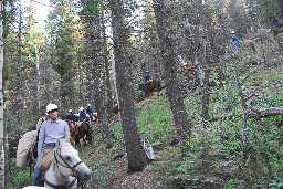
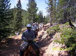
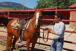
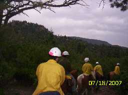
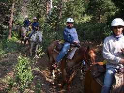
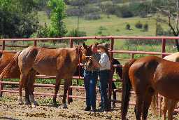
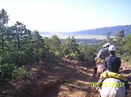
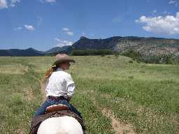
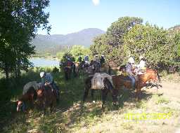
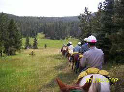
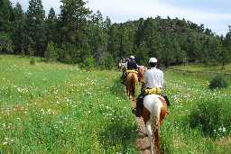
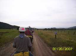
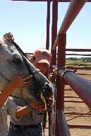
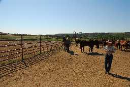
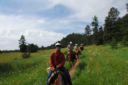
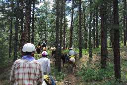
Cavalcade


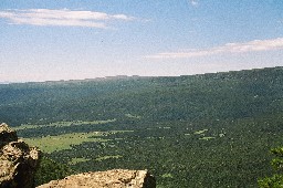
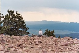
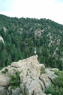
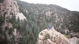
Lover's :Leap overlook
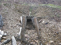
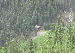
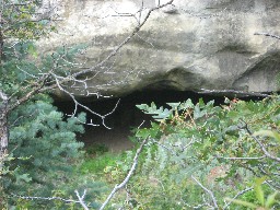
Visit Black Jack Ketchem's Hideout
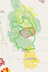
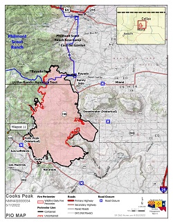
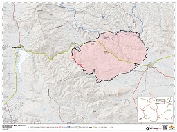
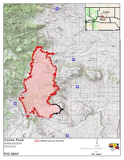
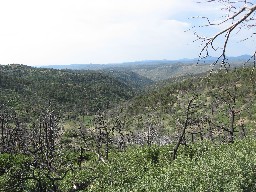
Wildfire