Wildfire


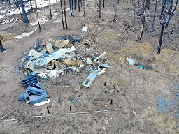
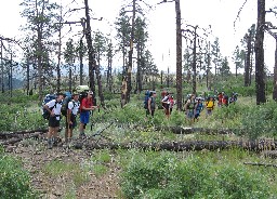
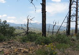
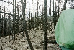
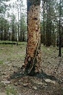
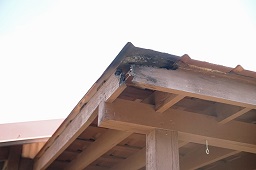
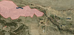
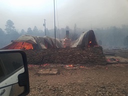
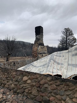
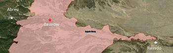
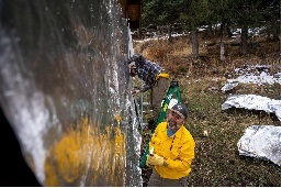
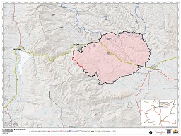
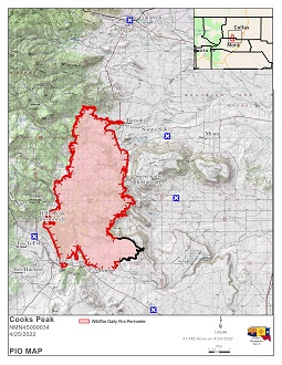
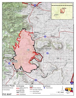
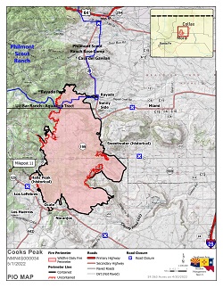
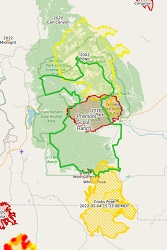
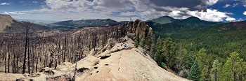
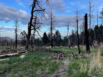
Philmont, being largely wildlands, is at risk of wildfire every year. Philmont has been impacted by several significant fires in recent years, most notable the Ponil Complex fire in 2002 impacting the north country, and the Ute Park fire in 2018 effectively cutting the ranch in half separating North from south. In 2022 the Cook's Peak impacted the south country with the loss of several structures, among those the cabin at Zastrow. While not an intentional program, Wildfires are part of life in the wilderness and as such are learning opportunities. Conservation programs include forest management and removal of deadfall, hiles through the 2018 burn scar present opportunities to fully understand what wildland renewal looks like.


Photos at Dean Cow


Staff Cabin after 2018 Ute Park Fire


Photos at Ponil


On the 'Ponil Skyline' ridge trail, heading towards Hart Peak (note that this trail was burned off in 2002, and is currently semi-abandoned) On the 'Ponil Skyline' ridge trail, heading towards Hart Peak (note that this trail was burned off in 2002, and is currently semi-abandoned)


Photos at Santa Claus


2002 Fire Damage at Santa Claus 2002 Fire Damage at Santa Claus


Photos at Ute Gulch Commissary


Fire damage - 2018


Photos at Rayado


Fire Map 4/25/2022


Photos at Zastrow


2022 Cooks Peak Fire 2022 Cooks Peak Fire Fire Map 4/25/2022


Photos at Carson Meadows


Wrapping the staff cabin, April 27, 2022 Wrapping the staff cabin, April 27, 2022 Wrapping the staff cabin, April 27, 2022


Photos at On the trail


Ute Park Fire - June, 12 2018 Fire Map 4/25/2022 Fire Map 4/30/2022 - 56,725 acres - 56% containment Fire Map 5/1/2022 - 59,000 acres - 69% containment Philmont Area Fire History


Photos at Window Rock


ute park fire scar from atop Cimarroncito Ridge


Photos at Upper Webster Park


Fire Damage from 2018 Ute Park Fire